*This article was published in Vol. 51 No. 6 of Cycle Canada digital magazine.
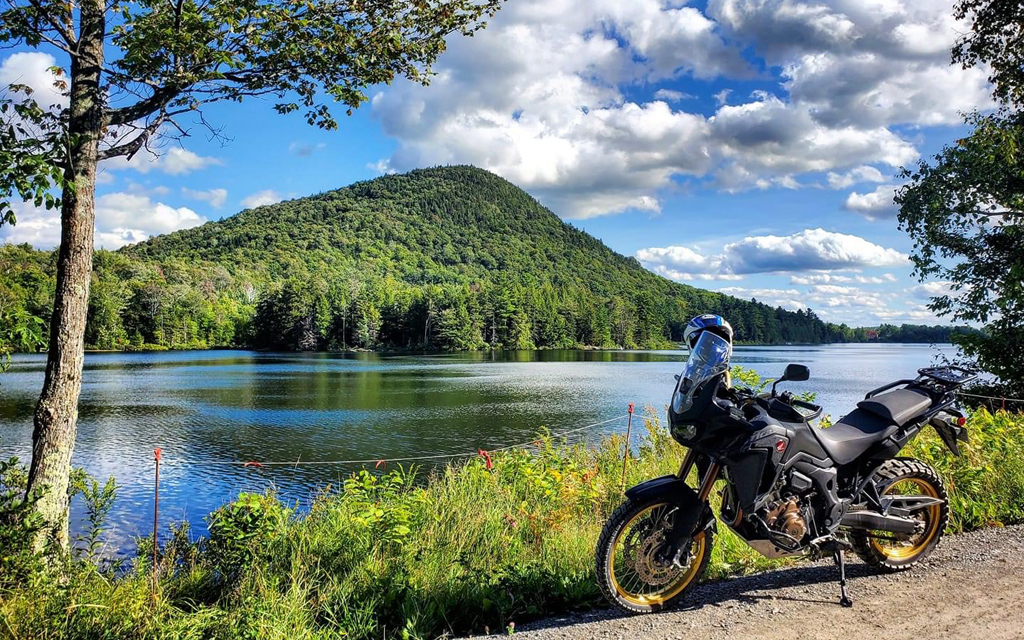
In Québec, there are numerous gravel roads and trails open to vehicles covered by the Highway Safety Code. These can be ideal playgrounds for street-legal adventure bikes.
So why not index all these roads on a map, with a classification system, in order to obtain a great network for adventure bikes and other dual-sports machines?
That’s exactly the gigantic and somewhat crazy project that is now underway, thanks to Marc Chartrand and different colleagues from the Ridaventure community.
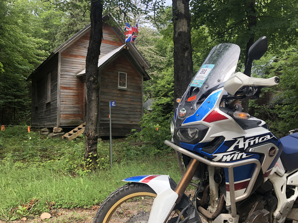
An important distinction must be made at this point. The trails we are talking about here are not the same as the ones from the Fédération Québécoise des Motos Hors Route (FQMHR). These use paths and trails with the authorization of the Fédération Québécoise de Quad. You need a right of access, and these trails are open to non-street-legal enduro bikes.
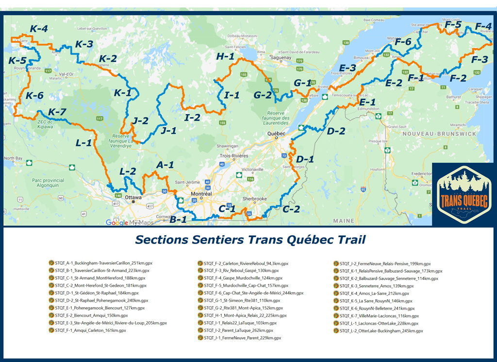
The Trans Québec Trail (TQT) is a virtual catalogue of the roads open to street-legal vehicles that can be ridden on unpaved roads, with a classification according to the level of difficulty.
That creates a new network of more than 5,600 km, essentially made of gravel roads, unpaved roads and public trails. Contrary to FQMHR’s trails, no private land is used, thus avoiding negotiations with landlords.
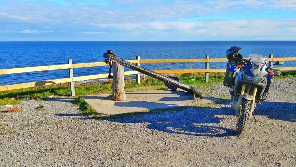
A volunteer will be appointed for each region covered. He will be responsible for selecting the most appropriate routes and make sure they are valid with the help of his network of fellow riders. He’ll be able to make changes to courses when needed.
The regions covered so far are Charlevoix, Haute-Mauricie, Saguenay-Lac-Saint-Jean, Gaspésie, Bas-Saint-Laurent, Hautes-Laurentides, Outaouais, Basses-Laurentides, Montérégie, Eastern Townships, Beauce, Abitibi and Témiscamingue. In 2022, new loops will be added for the North Shore and Northern Route.
The TQT network will be constantly improving because all users will be able to share information with app managers, thus adding their individual stone to the building.
This network will certainly be an important touristic asset for regions. Adventure tourism is on the rise and the sales of dual-sports machines skyrocketed in the pandemic.
To implement such a large project, you need access to different fields of expertise, and Ridaventure is lucky to be able to get help from many professionals who volunteer their time for the TQT.
For example, the branding of the TQT network has been elaborated by the manager of a big communications agency who has been an enthusiastic adventure motorcycle rider for many years. He created the logo with the typical yews and spruces that we see by the side of faraway Québec roads. Each region will have its own section with its own distinctive image, which will help define its specific characteristics for travellers. Right from the start, the app will benefit from a professional design, something that will be seen positively by the regional tourism agencies who will want to incorporate and promote the concept into their own network.
TQT trails have been rated from 0 to 2 depending on their level of difficulty using the Ridaventure scale (see sidebar). But the level of difficulty can change with the weather conditions, reminds Marc Chartrand. “Rain can make trails more slippery,” he explains, “create water holes and change the complexity of the course. Even if these roads and trails are relatively accessible, one must not underestimate the difficulties. These are not for beginners. The trail is excessively long and there are huge sections that are far away from any civilization.” Travelling alone is not recommended because surprises can always arise, such as getting stuck in a sand trap, or rocks breaking rims and puncturing tires.
“Check the weather forecast. Rain can quickly make the level of difficulty of a particular course step up to 3 or 4.”
The Sentier TQT app is a navigation tool that lists the points of interest and related businesses. It also allows users to communicate with one another, for help or for sharing information.
There is no access fee to be paid to the association. This is volunteer work to identify a network of roads. But they do have expenses to set up the NPO structure, get liability insurance, operate and run the application, the website and other technological tools, create the logo and define its graphic implementations. There are also expenses associated with the production of guides, establishing master plans. The administrators will have to find ways to pay for these charges. For now, T-shirts have been printed to help cover the initial expenses.
The app was supposed to be ready around June 24, but there have been small delays. Nothing too bad considering this is a free application run by volunteers. “There are still small things to be adjusted before launching the project,” explained Chartrand, “partly in terms of programming for the application, but essentially because we need to synchronize the website with the API. This is what will allow sharing maps, waypoints and points of interest on all platforms simultaneously. I hope things will be up and going by mid-July if we don’t have any last-minute surprises.”
Visit https://advhub.net/communities/tqt/ to download the Trans Québec Trail application.
Trail difficulty classification index
Level 0: Main roads and highways, nice gravel roads, no hills with major ups or downs, detours on paved roads.
Level 1: Gravel roads, open trails alternating from wide to narrow. Without any abrupt “up” or “down” hills. Use of occasional detours to bypass more difficult sections. Exciting but doable!
Level 2: Pavement and gravel roads in poor condition (major potholes), eroded trails with occasional ditches. Quad-style fire road trails. Dry river beds. Passable holes and creeks, closed trails with no major climbs or descents.
Level 3: Long sections of easier trails with sections of somewhat damaged gravel roads and eroded trails. Possible closed trails with tight turns. Big hill climbs and descents. Difficult creek and river crossings.
